SURVEYING
We have established a reputation for providing quality land surveying services under the most demanding conditions.
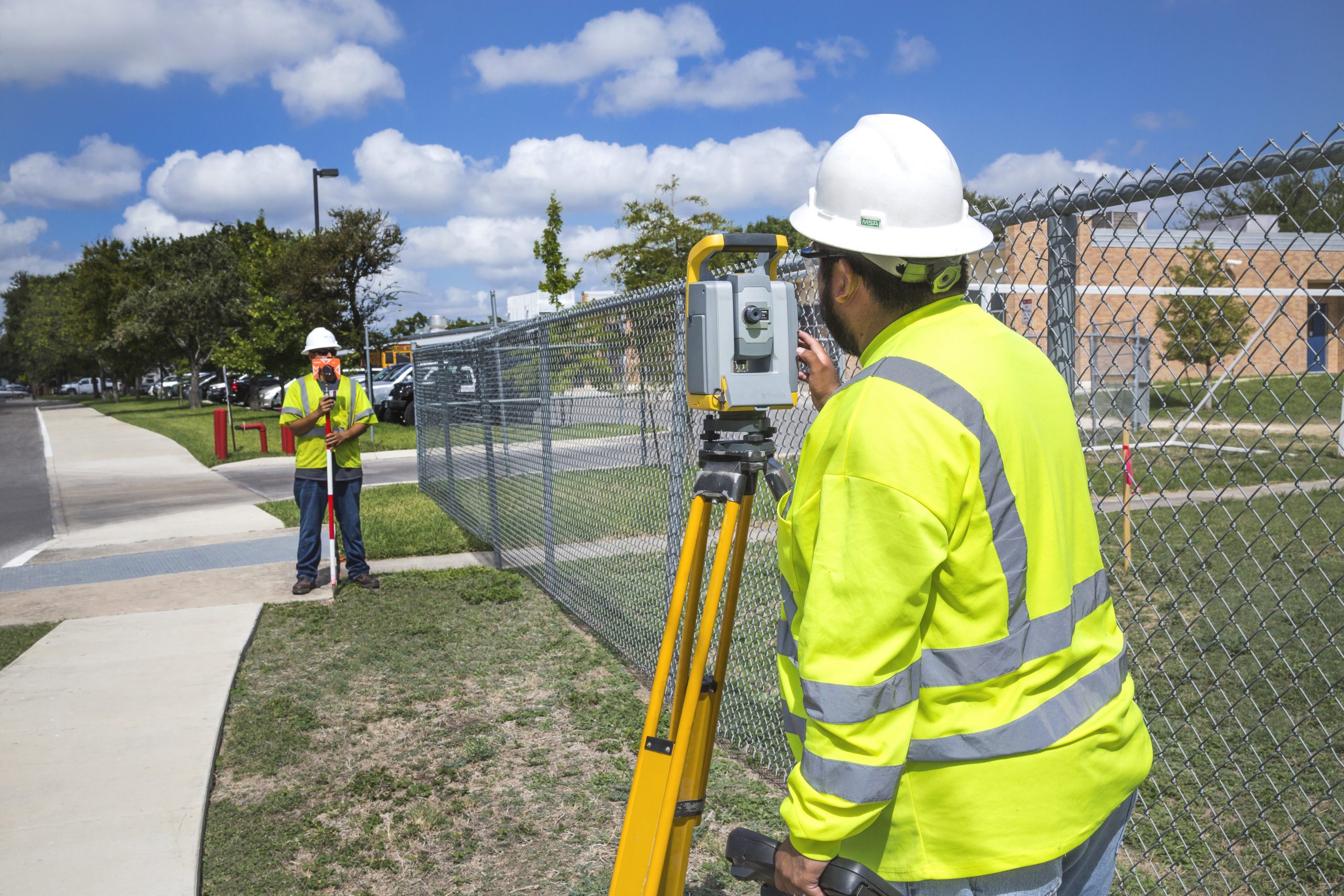
From the Great Plains to the Rio Grande Valley and from the Appalachians to the Rocky Mountains, our surveyors have the experience and the latest hardware and software technologies to reliably and consistently overcome the challenges of any project safely and cost-effectively.
CDS Muery practices quality assurance/quality control procedures as a routine process using dual occupation and checks on all survey work to assure data and product accuracy before delivery to the client.
We provide the following in-house professional services:
- As-Built Survey
- Land Development Survey
- Route Survey
- Survey Mapping
- Topographic Survey
- Control Survey
- Design Survey
- Boundary Survey – ALTA/ACSM Title Survey
- 3D Laser Scan Surveying & Deformation Monitoring
- Construction Phase Surveying
- Construction Administration
Click here for additional information on our surveying TxDOT pre-certifications and safety program.
Surveying:
- Route Surveying for Roads, Transmission Lines
- Pipelines and Fiber Optics Cables
- GPS/Geodetic Control Surveys
- Design/As-Built Surveying
- GIS Mapping
- GIS Database Digital Integration
- ALTA/NSPS Surveys
- Subdivision Plats
- Hydrographic Surveying
- Boundary and Cadastral Surveying
- Airport Obstruction Clearance and Control Surveys
- Precise Leveling
- Abstracting and Ownership Maps
- Plan and Profile Base Maps
3D Laser Scanning:
- Detailed Power and Industrial Plant As-Builts
- Historical Preservation/Renovation Documentation
- Topographic and Design Surveys
- Construction Progress Archive and Asset Management Inventory Surveys
- Movement and Deformation Measurement Surveys
- Accident Investigation and Forensic Surveys
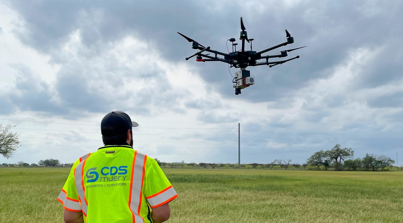
Unmanned Aerial Vehicle (UAV) Services:
- Topography Surveys
- Tree/Canopy Surveys
- Aerial LiDAR
- Aerial Utility Mapping
- Aerial Photogrammetry
- Real Estate
- Land Development
- Mining
- Construction Management
Surveying Technology
Our survey professionals and staff employ state-of-the-art surveying technology to meet the profession’s highest standards and provide the most effective solutions for our clients.
High Definition Surveying /3D Laser Scanning
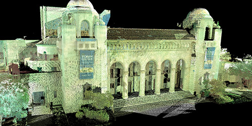
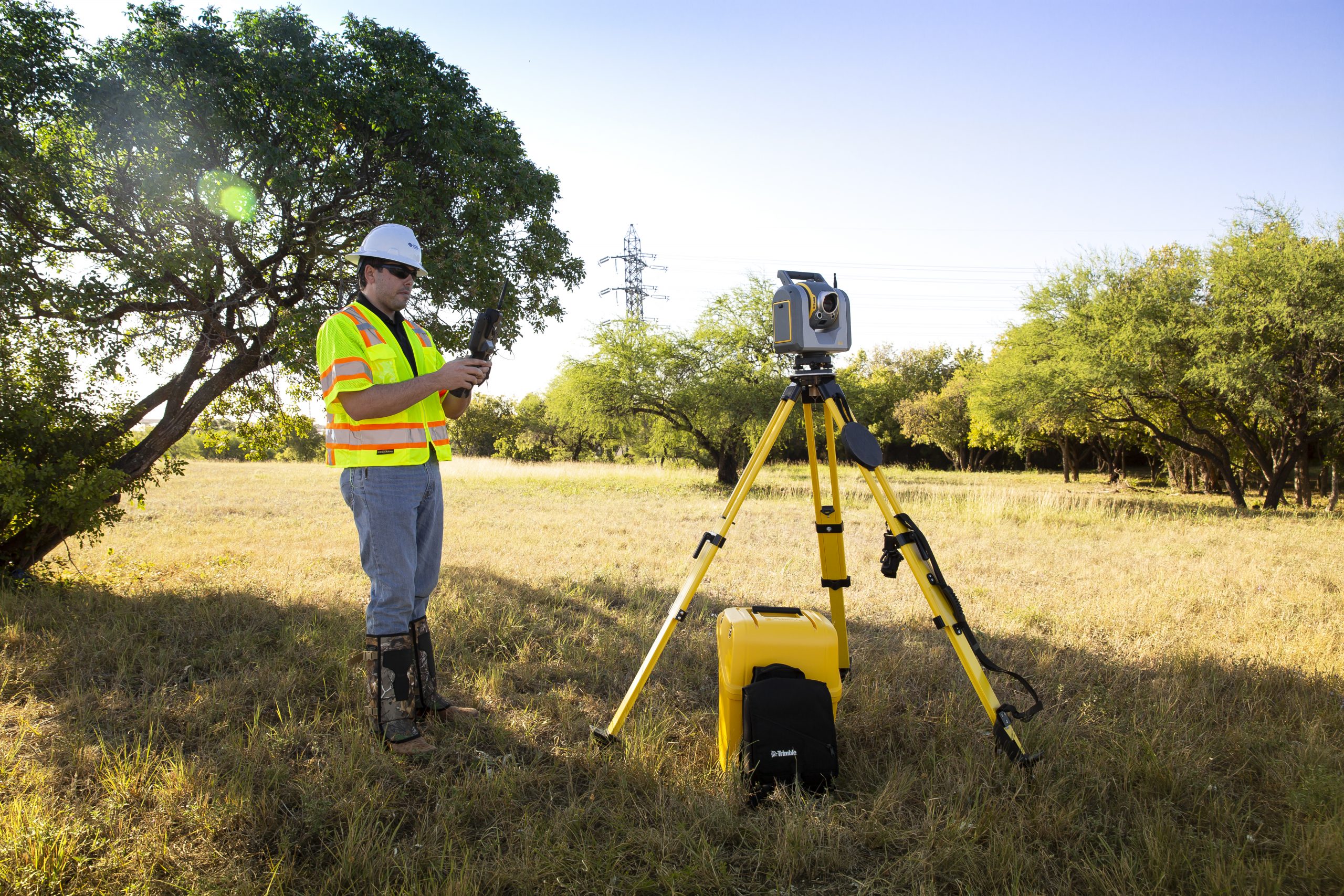
Since 2002, CDS Muery has been offering HDS/3D Laser Scanning technology to clients, allowing for a more efficient way to assess and make decisions regarding their projects. This technology produces a detailed and photorealistic 3D image of existing features extracted from spatial datasets that were laser scanned in the field. This virtual 3D model is created in less time and with more detail than traditional methods. Furthermore, since laser scanning captures a 360-degree field of view, additional data can be extracted from the dataset, thus reducing the need for return site visits. CDS Muery has recently upgraded our equipment portfolio to take advantage of technological advancements, reducing the time necessary to collect the dataset and reducing job site interruption.
AERIAL LiDAR Services
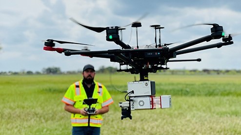
CDS Muery offers high-resolution survey data collection using drone-based LiDAR scanning. Our equipment is operated by certified FAA Remote Pilot personnel.
Capabilities:
- Scan urban and rural locations
- Scan heavily vegetated areas
- Generate accurate point clouds
- Create high-resolution maps and 3D models
- Generate digital elevation and terrain models
- Generate PLS-CADD models
